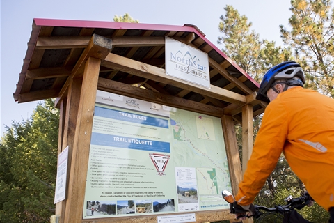
NorthStar Rails to Trails
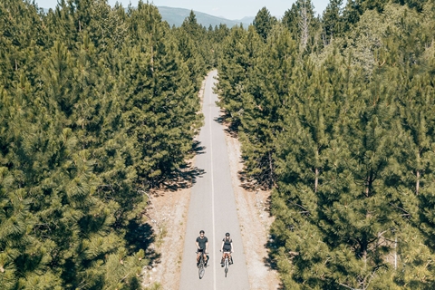
The scenic Northstar Rails to Trails, a 28-kilometre paved trail, links the cities of Cranbrook and Kimberley.
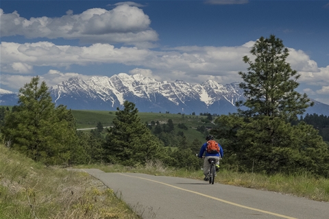
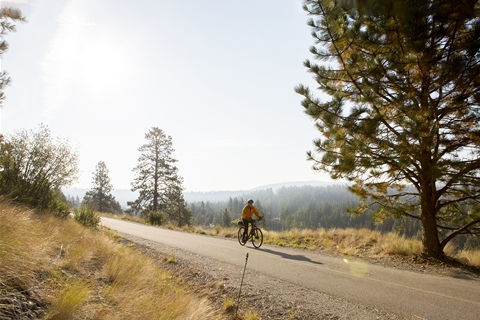
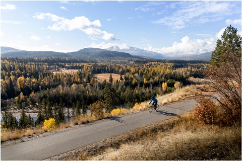
The trail is nestled between the Purcell Mountains and the Rocky Mountain Trench in southeastern British Columbia, with trail heads located at the north end of Cranbrook and near the Civic Centre Arena in Kimberley. The area is naturally beautiful, surrounded by mountains dotted with forests and grasslands, broken up by lakes and rivers.
Public washrooms, picnic tables and memorial benches overlooking the many viewpoints are found along the way.
Know Before You Go:
The trail is designed and maintained for use during spring, summer, and fall. It is not maintained during the winter.
The trail is designed and maintained for use during spring, summer, and fall. It is not maintained during the winter.
DIRECTIONS:
Cranbrook Rails to Trails Trail-head: Google Maps directions here.
- Drive toward Kimberley on Hwy 95A.
- Continue on Highway 95A, going straight through the intersection with Theatre/Mission Road. After driving under the train overpass, turn left (south) onto Collinson Road.
- Follow Collinson Road south for about 200 metres and turn right at a T-junction.
- Then take the left gravel track up a little hill. At top of the hill is the main Cranbrook Rails to Trails trailhead.
Kimberley Rails to Trails Trail-head: Google Maps directions here.
- Parking is available at the Civic Centre Arena at Archibald Street and Rotary Drive. The trail-head is located across Rotary Avenue from the arena.