Chief Isadore Trail
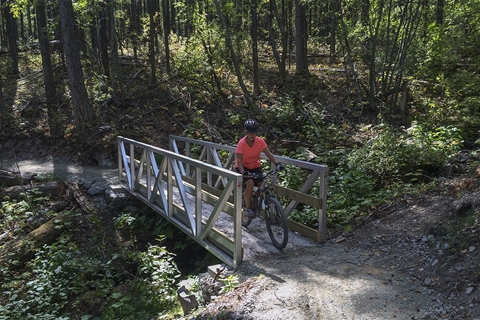
The Chief Isadore Trail is half rail trail and half gravel enhanced singletrack.
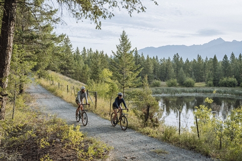
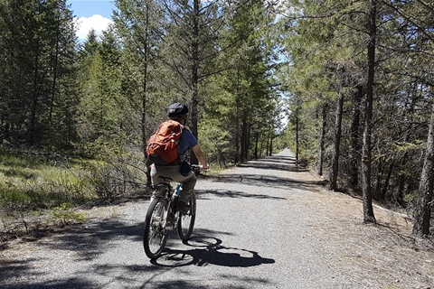
The route starts at the Isadore Canyon Trailhead and finishes at the Wardner Community Park just south of Cranbrook. The Chief Isadore Trail is a 43.5 km packed gravel hiking and cycling trail that mostly follows the reasonably level former railway grade from Cranbrook to Wardner.
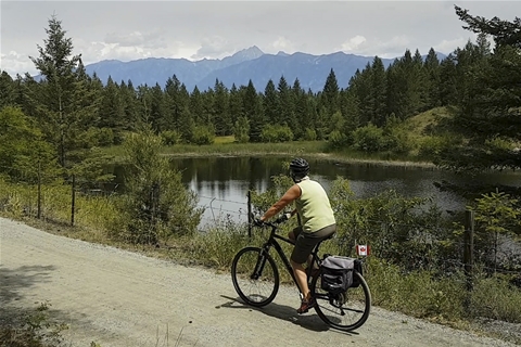
This is a great trail to explore to see wetland areas, stunning mountain vistas, rivers, and wildlife.
DOWNLOAD THE TRAIL BROCHURE HERE
DIRECTIONS:
- At the north end of Cranbrook Street (near the overpass) Turn right (east) onto 30th Ave. N, then immediately left onto Stahl Rd., a small paved road heading northward, parallel to the highway.
- 150 m: Take the left fork beside the fenced yard. This left branch will look like a private road leading under the overpass but continue along the left fork. (The right fork goes into the Cranbrook Forest Service Southeast Fire Centre yard.)
- 330 m: The gravel road splits again. Take the left fork and park at the signed Isadore Canyon trailhead.
There are many trailheads to the Chief Isadore Trail. The 17 km "Mayook Trail" is part of the Chief Isadore Trail, which leaves the railway grade and climbs the lower of Mount Baker. Begin from either Pritchard or Ha-Ha Creek Roads from highway #3 east of Cranbrook.
Another favorite spur begins from the rest stop outside Cranbrook called the "Rampart Connector" This 7 km section forms a loop.
The Chief Isadore Trail is a public recreation trail within an active forest, range, and grassland. You may encounter livestock (May to October) and /or wildlife year-round. Please do not approach livestock or wildlife. Please respect private land and stay on established trails.
Visit the Trans Canada Trail Website for additional resources