Mause Creek Tarns
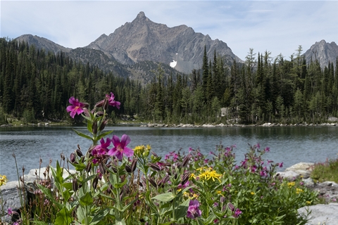
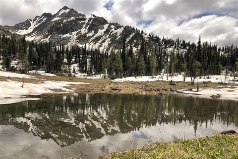
The Mause Creek Tarns are nestled in a Rocky Mountain basin at an elevation of 2118 m (6950 ft.)
A wide, easy trail to some tarn-speckled sub-alpine meadows, these ponds are surrounded by wildflowers, larch and fir trees. It's a three-hour roundtrip to the tarns, which can be a nice turnaround point for those with small kids or with less time to explore.
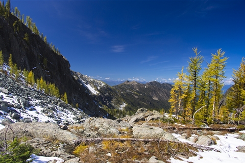
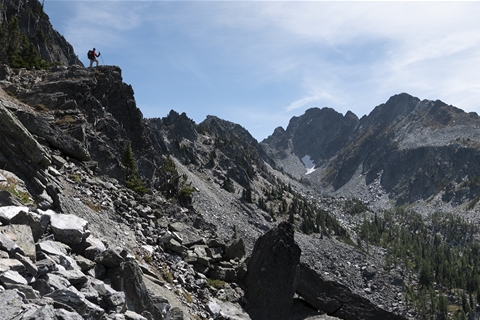
Above the tarns, a steep scree slope welcomes you to a rewarding climb into Tanglefoot Lake.
WHAT TO EXPECT:
- A moderate 3.1 km hike to the shallow lakes (tarns)
- An elevation gain of 405 m (1330 ft.)
- 4WD access road (13km)
- Within an hour from the vehicle, you arrive at the tarns.
DIRECTIONS:
- Head north on HWY 3. Take hwy 95 at the junction (following signs for Fort Steele)
- Shortly after the fort, take your first right onto Wardner Fort Steele Rd. You will follow over the Wild Horse River and left onto Mause Creek Rd.
- In less than 1 km, another Mause Creek Rd shoots left toward the mountains - ignore the DEAD END sign, dozens of roads continue for ages after this point.
- At the first major intersection, stay left on Boulder Crk (may be signed for the Fisher Peak hike - same area).
- At the 4km marker, stay right, and continue straight where a faint road cuts across the main one.
Know Before You Go
You may pass some cars at the Fisher Peak trailhead, continue straight for ten minutes or so, the road will end in a wide parking area. The trail is signed as Mause Creek, but everyone knows it as Tanglefoot - either way, you're in the right place.
You may pass some cars at the Fisher Peak trailhead, continue straight for ten minutes or so, the road will end in a wide parking area. The trail is signed as Mause Creek, but everyone knows it as Tanglefoot - either way, you're in the right place.